For many, visually approximating locations by using landmarks and nearby plants provides sufficient accuracy for mapping their collections. An alternative is to use the Global Positioning System (GPS) found in most smartphones. While consumer-grade smartphone GPS works well in open areas, its accuracy quickly degrades near buildings, bridges, or dense vegetation—conditions frequently encountered in botanic gardens.
To improve positional accuracy, several users have opted for external high-precision GPS/GNSS receivers that connect to smartphones or tablets via Bluetooth. While this setup is slightly more complex, it offers greater flexibility: you can pair it with various mobile devices and upgrade components as needed. It's also a more future-proof solution for long-term use.
There are many external receiver models available, but here are a few that is used by the community:
- Juniper Systems: Geode
- Trimble® Geospatial: DA2 (Other Trimble R# products might also work well)
Setting up Geode from Juniper Systems
The Geode by Juniper Systems is a sub-meter GNSS receiver that connects to your smartphone via Bluetooth or USB.
Once your smartphone is properly configured, it will receive high-precision coordinates from the Geode, which can then be used seamlessly within Hortis.
To set up Geode on your device, please follow the instructions from Juniper Systems
Setting up Trimble DA2 (Catalyst) on Android
The Trimble DA2 is a USB-connected GNSS receiver whose accuracy depends on your Trimble Catalyst subscription, ranging from sub-meter (60 cm) up to survey-grade (1 cm). Choose the subscription tier that matches the precision your collection mapping requires.
Hortis reads positions from your device's standard location service, so no configuration is needed inside Hortis. Instead, you configure Android to use the DA2 as its location source:
- Install Trimble Mobile Manager (TMM) from Google Play and sign in with the Trimble ID linked to your Catalyst subscription.
- Enable Developer Options on your Android device (Settings → About phone → tap "Build number" seven times).
- In Developer Options, set Trimble Mobile Manager as the "Mock location app".
- In TMM, connect to the DA2 and enable Location Sharing. Confirm TMM shows a position with the accuracy you expect before opening Hortis.
Hortis will now receive the DA2's high-precision coordinates automatically.
Tips for best results
- Hold the receiver directly over the plant you are mapping — the recorded position is the receiver's antenna, not your phone.
- High-accuracy subscriptions using satellite corrections may need a few minutes in open sky to converge before reaching full precision.
- If Android displays a larger accuracy estimate than expected (e.g. several meters), this is a known limitation of how Android passes accuracy metadata to apps — the coordinates themselves are usually at full precision. Check TMM for the true accuracy figure.
- Accuracy degrades under dense tree canopy or close to buildings, though considerably less than with a phone's internal GPS.
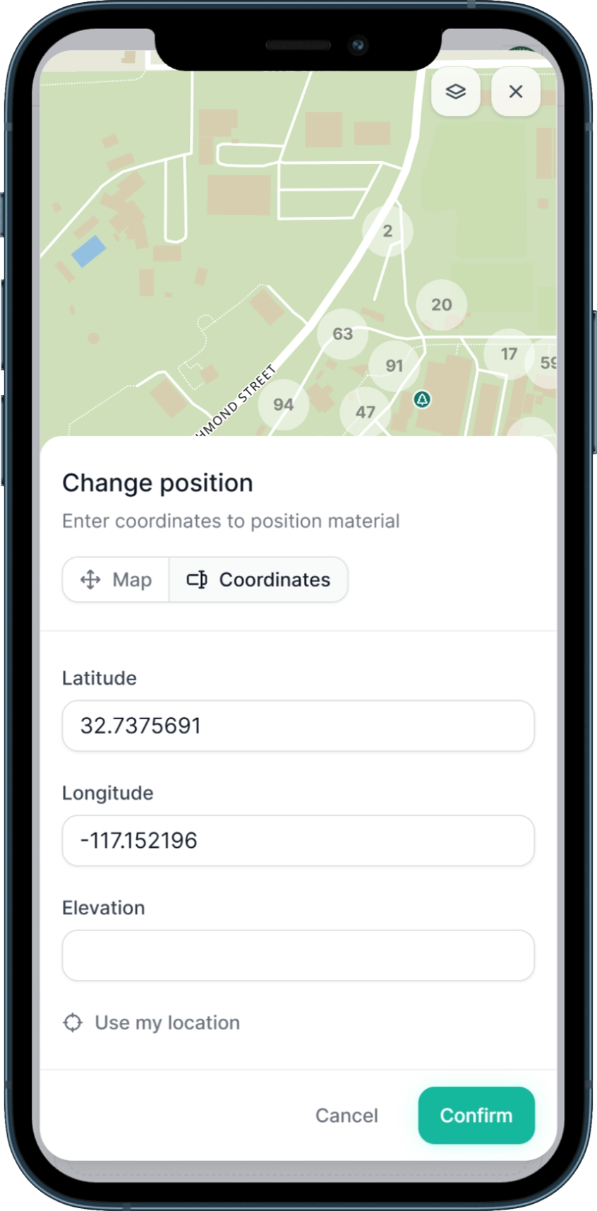
- If you want to see the coordinates in real time, you can switch to "use coordinates" to see the exact coordinate being supplied by the GNSS received.